


Computing Technology Helps Keep Record Keeping On Track

As energy and input costs rise in agriculture, managers continue to look for efficiencies. This can be a daunting task as operations get large and diversified. It also becomes difficult to keep track of all inputs and activities that go on in a business over time when evaluating the effectiveness of changes in management plans.
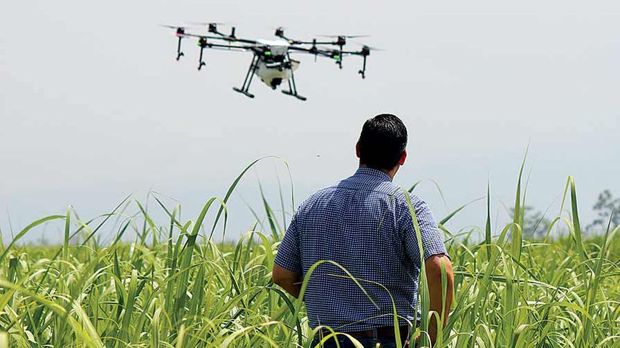
Whether it’s a small or large operation, farm record keeping software and digital mapping technologies help take out the guess work in managing and planning your operation. Combining the use of computerized mapping and Geographic Information Systems (GIS) software, imagery, Global Positioning Systems (GPS) collected data, and other geo-data sources allows growers to gain confidence in their management strategies.
GIS is a collection of computer hardware, software, and geographic data for capturing, managing, analyzing, and displaying all forms of geographically referenced information. It allows a user to stack layers of data at specific locations (points), regions (areas/polygons), or transects (lines) to make comparisons or calculations based on that geo-referenced data. This data can also be represented temporally over time to look for trends.
Fill Your Needs

In addition, these tools allow you to create job orders, track employee time and efficiencies, generate records for pesticide applications, and generate site plans for conservation program compliance. Other applications include developing water management plans for irrigation and drainage, farm appraisal maps and reports; documenting crop damage or losses for insurance claims, managing for frost protection; arranging raised beds; and planting patterns in fields, yield production evaluation; and understanding spatial variability in the field.
Mapping technologies can be used in operations of any size, but every application requires a different approach. You must decide what information you need and assemble a set of tools to gather it. You must decide what you can do yourself and which to contract out, taking into consideration your tude. You must also learn how to use the data you gather for decision making. Whatever the case is for you, here are some points to remember when choosing crop record keeping and mapping technologies.
• These technologies can consist of basic record keeping and display software, desktop GIS, web-based GIS, and simple viewers for imagery and maps.
• There are desktop field record keeping and GIS programs designed specifically for agriculture. These programs cost anywhere from $600 to several thousand dollars and range from simple crop record keeping to full farm and business enterprise systems. Generally, programs that have crop management features work with job tasks, field records, economics, soils, yield data, and creating recommendation maps for variable rate applicator equipment.
Subscribe Today For