


Trimble Adds Vegetation Health Monitoring Service
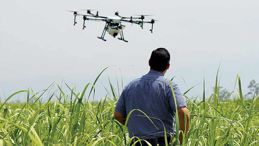
Trimble announced that it is adding another new agronomic service to its Connected Farm Solution. The PurePixel Precision Vegetation Health Solution provides specialized processing of multi-spectral images used for crop health analysis. Field images processed with PurePixel technology provide farmers and their trusted advisors with a visual representation of the selected field’s crop health or maturity level based on a color-coded index. Since PurePixel filters out non-crop artifacts such as soil, shadows, and surface wetness, it can be used on fields with newly emerged vegetation or fields with a full crop canopy.
PurePixel produces a vegetation vigor index map, which is a calibrated representation of vegetation health that can be used to track crop growth and measure the magnitude of difference between areas. Because PurePixel maps use a calibrated index, users can compare multiple images of the same area and visually detect changes in crop health over time. This feature is especially useful for monitoring expected progress in crop growth or improvements in crop health when treating underperforming areas within fields.
“With PurePixel’s more accurate and comprehensive vegetation health data, Trimble is providing farmers and their trusted advisors with another tool they can use to make better decisions,” said Levi Kettle, Connected Farm business area director of Trimble’s Agriculture Division. “The challenge with spatial data such as imagery is interpreting the results that lead to accurate and efficient decisions. By removing the ‘noise’ and delivering precisely geo-referenced field-ready maps, PurePixel enables trusted advisors to be more efficient in locating, identifying and solving crop production problems.”
“PurePixel imagery has been a critical part of my farm management and consulting for years,” said Steve Harrow, certified crop advisor for Trinity Ag Services. “With the solution I can cover thousands of acres and then go immediately to problem areas long before I would have detected them from walking fields. The imagery gives me an early warning system, so I can navigate to problem areas in my fields, diagnose the problem, and then write a prescription—all before we suffer economic losses.”
PurePixel allows users to:
- Save time by quickly viewing large areas and identifying specific locations where issues may be present, enabling the farmer or trusted advisor to travel only to the targeted areas versus scouting the entire field
- Make timely early-season decisions on the newly emerged crop with PurePixel’s ability to significantly reduce image noise enabling critical decisions to be made prior to full crop canopy
- Identify differences in crop health and maturity even when crop health is generally strong
- Assess changes in canopy size and quality by analyzing multiple PurePixel maps from the same field within a season or over several seasons
PurePixel is an additional product Trimble has added to its newly launched agronomic suite of services. These services also include the Soil Information System™ (SIS) solution, the company’s soil analysis mapping technology.
The PurePixel solution is currently available through the Connected Farm Web site at: https://field.connectedfarm.com. For more information on PurePixel, visit: www.trimble.com/agriculture/purepixel.
Source: Trimble news release
Subscribe Today For