


Drones Make Great Field Scouts. Here’s Where to Start
 August 7, 2019
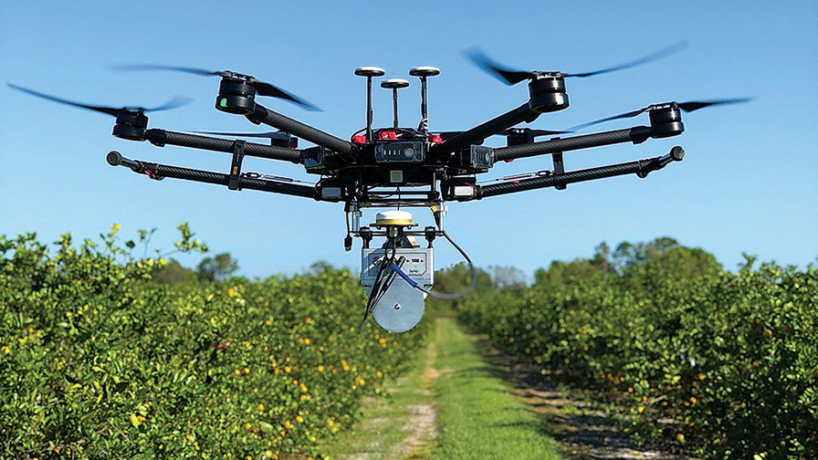
Photo by UF/IFAS
Drones can help you address hard-to-solve production issues. But any time you adopt new technology, there’s ample opportunity to waste time and money. That’s why you’ll want advice from someone experienced with drones before you jump in.
Dr. Greg Crutsinger, founder of Scholar Farms — a drones in agriculture-focused training institution in El Cerrito, CA — has dedicated his life’s work to helping farmers understand how they can leverage inexpensive drone technology.
Crutsinger isn’t a mere academic, however. The bespectacled professor has held a few high-ranking roles with industry giants 3DR, Parrot, and Pix4D. Crutsinger’s journey in a still relatively adolescent industry gives him a unique (and valuable) perspective into using drones in the specialty crop world.
Keep Your Drone Launch Realistic
“The first recommendation that I always give [interested farmers] is to start with a pain point that you’re trying to solve,” Crutsinger says.
Only then will you be able to assess if aerial imagery will work for you. From there, it’s important to keep your ambitions in check, he advises.
Most vegetable operations don’t need to invest in the latest and greatest $15,000 drone package marketed for professional agronomists in the corn and soybean world.
You can find good-quality drones for around $1,000, Crutsinger says. The key is to make sure it’s able to deliver high-resolution images.
“With some free mission planning apps and the 12- to 20-megapixel camera on a drone, you can create high-resolution color maps of your fields,” he says.
Color imagery allows you to look at drone data layers intuitively.
The DJI Mavic model (and similar models from Autel and Parrot) is a good example of this type of drone, he says.
Post-Processing Matters, Too
Of course, in today’s automated, waypoint-flying drone world, the challenge is often no longer in flying the bird itself. That’s a given. Post-processing the imagery or data the drone delivers is the crux of why you use aerial imagery.
Many growers, however, are stumped on how to make sense of the data. The trick is to follow a proper workflow. It makes an arduous process very much less so.
“There are fairly low-cost and quick ways to process the imagery. Either in the cloud with a software like DroneDeploy, or in the field with very rapid processing like Pix4Dfields,” Crutsinger says.
There is no need to invest in annual software subscriptions. At least until you know it’s going to pay dividends in your management strategies.
What’s more important, Crutsinger shares, is to start integrating drone data into your workflow and to “begin to collect data that you’re actually going to look at.”
What data you’re look at will depend on the pain points you’ve identified that drone imagery could solve.
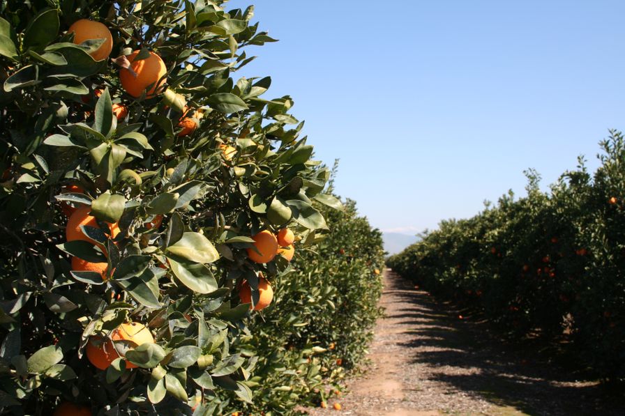
For instance, a vegetable or citrus grower simply looking to scout blocks to get a good idea of canopy development can get pretty far with a 2D color map. It’s one of the easiest photogrammetry products to produce via today’s automated, algorithm-driven processing software.
From these relatively simple-to-produce maps, you can start looking several things. The density of plants, size of plants, growth rates over time, and some general metrics on health, he says.
Crutsinger adds that there are a lot of complicated analytics you can get into via drone sensing. But getting some eyes-in-the-sky over target areas or trials is a good first step.
Spectral Sensing
Where things can get a bit more complicated for the drone beginner is in deploying multi- or hyper-spectral sensing payloads over crops for in-season plant health quantification. This type of imaging typically requires additional investment. It can be in more expensive, add-on cameras, and probably a software subscription to process, or stitch, the imagery into something useful.
Crutsinger thinks that some of this work can be done by contractors at a daily rate, or paying for a certain amount of acreage, versus growers having to make the investment and do all the leg work.
“Growers can, of course, do the math on whether this is more cost-effective than buying the drones and building your own program,” he says. “Given that the hardware and software changes so quickly, it can be much easier to hire someone to provide the data than maintaining a fleet of drones and a range of software subscriptions.”
Give BCAs A Ride Over Your Canopy
Specialty crop growers that stay up on the news already know aerial data isn’t the only thing being collected, or in this case, distributed, via drone.
“There is definitely a growing interest in using drones to drop beneficial insects for integrated pest management. But personally I’d like to see more trials on the effectiveness,” Crutsinger says.
The potential is there, according to the professor. But ever the academic, he says he would like to see more independently verified data on the effectiveness before investing in yet another specialized drone payload to apply the little buggers.
“Careful studies are needed in the field or at crop Extension centers adding beneficials to some areas and not to others [as a control], and then taking measurements of the effectiveness,” he says. “The potential for the technology for Integrated Pest Management (IPM) is really interesting, but more research is needed for different crops, different areas, and different insects.”
But One of Many Solutions Providers
Sentera is a name that is well-known throughout the row-crop-imaging world. But perhaps less so among vegetable and other specialty growers.
The Minneapolis, MN-based sensor innovator is seeing an uptick in vegetable grower buy-in for machine-learning-enabled aerial scans, however. It has emerged as one of the top players in the aftermarket drone sensor payload game.
The group also manufactures and distributes a turnkey, fixed-wing drone specifically for ag, the Phoenix. It’s capable of imaging large acreage sets (1,000-acre ceiling in ideal conditions) with multiple swappable sensing options.
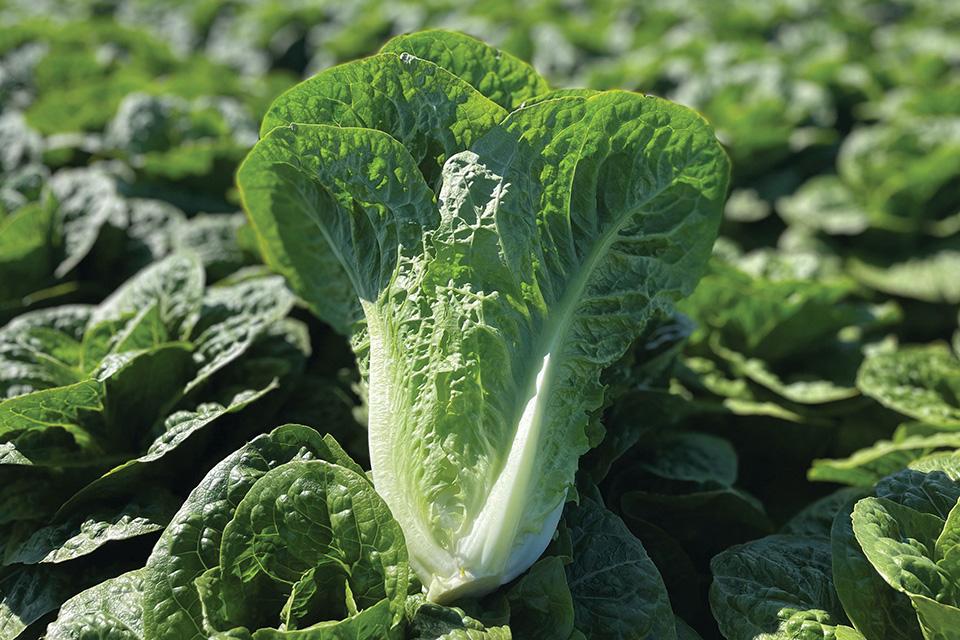
One Head of Lettuce, Two Head of Lettuce, Three …
Greg Emrick, Cofounder and Executive Vice President of Business Development, says just the simple task of being able to count blossoms in strawberries or counting the number of melons in the field is more important than many would think.
“That’s the direction that this stuff is heading. And it’s the machine learning that is going to enable that,” he says.
Emrick has examples, like the lettuce grower in Yuma looking to ship some fresh produce up north.
“Just to know the counts is valuable to someone who’s trying to sell. And not over or under sell, but just sell exactly what they think they’ll have,” he explains. “Sometimes in these specialty markets, it’s not even about the production side. It’s more about the management of the business because they are higher value (crops) and perishable in many cases.”
Opening Eyes in the Sunshine State
Emrick shares an example from a recent test flight in Florida for a strawberry grower-customer.
“The customer wasn’t sharing with us that they had a couple of different strawberry varieties inside their beds, because they were testing us sort of on the down low,” he says.
“When we flew over it you could instantly see the differences that were in the field. And that was all through NDVI (sensing) that we were able to do that.”
Emrick and Co. spend a good majority of their time crafting solutions for large scale, row crop growers the world over. But a passion for finding efficiencies for the specialty grower remains just as powerful for the team at Sentera.
“I have a deep appreciation for people really sticking their fingers in the dirt and being close to the land along with what they grow. It’s an interesting business for me when you start to get into the specialty crops,” he says. “It’s a very different perspective than the row crop guys, I think.”
Subscribe Today For